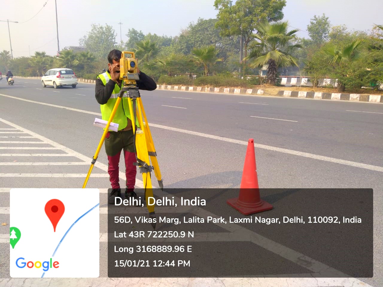
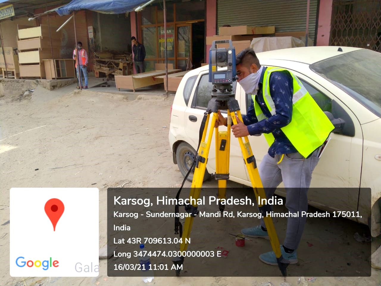
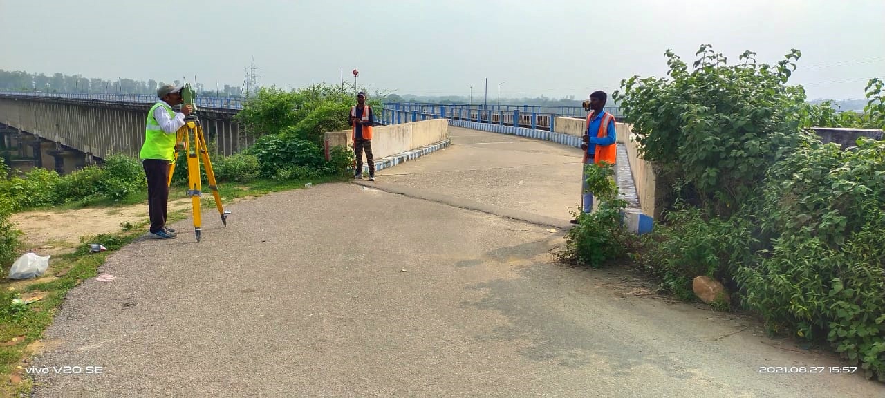
"Topographic surveying" encompasses a broad range of surveying and mapping products, ranging from aerial mapping to ground and underground surveys. “Control surveying” likewise can cover wide area geodetic surveys to construction stakeout. Topographic Surveying is the measuring of land elevation, using GPS satellites to calculate the exact position of each point taken by providing an xyz file; the easting, northing and elevation of a point. Within topographic surveying there are two survey methods used to collect this data, continuous topographic surveying and profiling. We are also providing Architectural services like Building Layout Survey and Preparation of Building Layout etc.
- Topographical Detailing Survey for Highway & Structures etc.
- Land/Nalah/Canal/River Survey
- Transmission Line Survey
- Water Pipe Line Survey
- Village Survey
- City/Town Survey
- Building Layout Survey and Drawing Preparation


 - 3D.png)